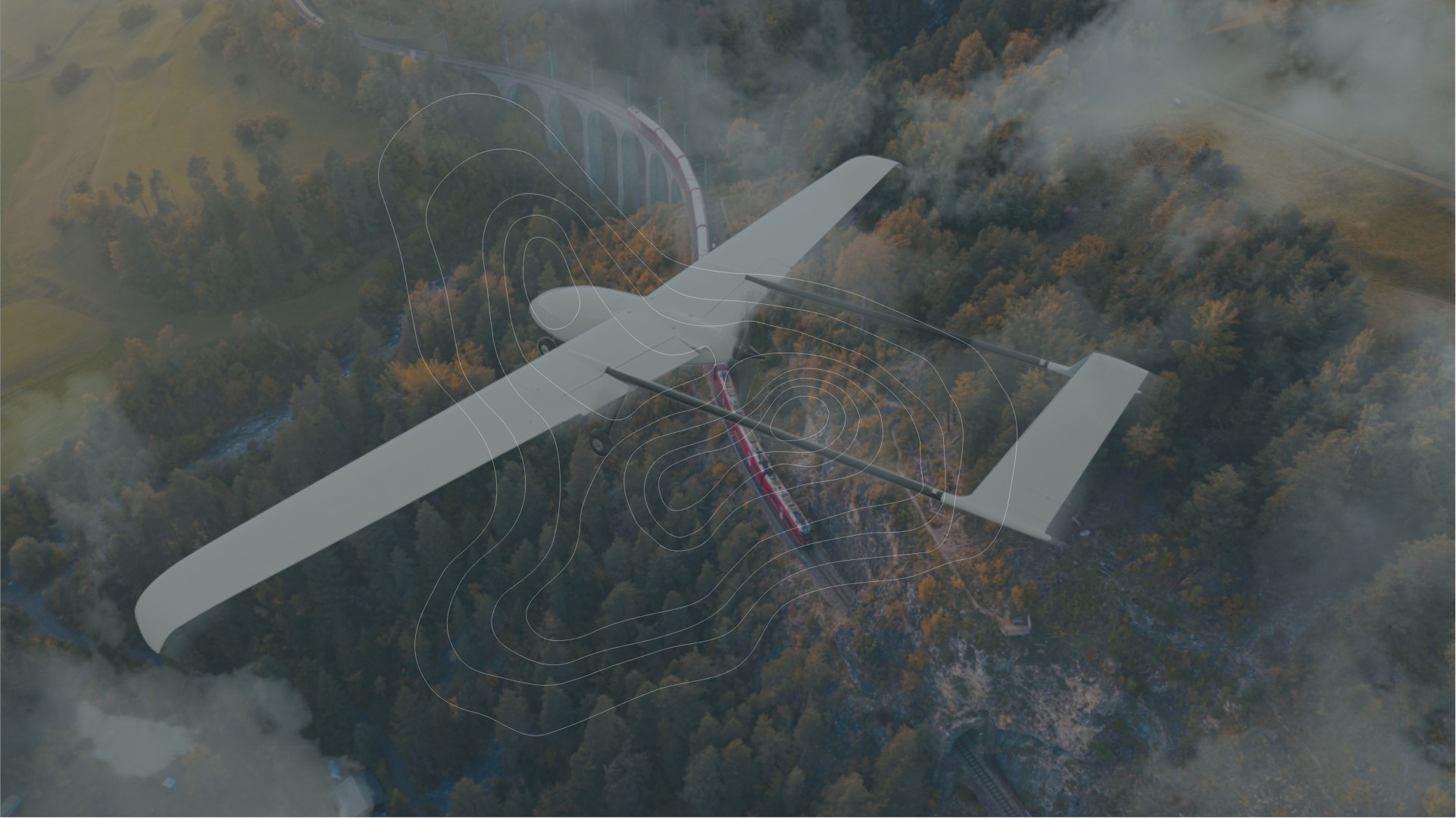
The use of drones expedites regulatory compliance monitoring, quantify readings, and minimize liability.
Genesis Aerial Exploration’s drone supported (UAV) systems are equipped with the most advanced geomatic technology designed to acquire specific data from often inaccessible project environments.
Applications include infrastructure and industrial projects such as pipeline construction, facilities, powerline right of ways, gas leak detection, GHG emissions, environmental applications, containment sites, water resources, and effluent management areas.
The Aerial Exploration team has access to a comprehensive portfolio of drones, as well as a complete spectrum of technologies that can be secured to the system, including thermal sensors, methane sensors, hyperspectral and magnetic sensors.
Genesis Aerial Exploration’s surveillance program offers a cohesive reporting system, unifying all types of surveillance methodologies. This model ensures accurate and consistent data encompassing the entire geographic area.
The program uses satellite, fixed wing, and rotary wing aircraft as well as drone visual line of sight operations.
Visual inspections, leak detections, GIS integration and standard, fully compliant reporting is also available.
Inspect high or remote areas with airborne cameras and other NDT instruments and prevent unplanned failures.
Sensor data, combined with machine learning, speeds up large and extensive inspection projects including bridges, communications towers, large aircraft, and tall structures of any kind.
The end user may identify potential issues in advance of becoming critical and provide thorough documentation of insurance/incident reporting. Our carefully designed and implemented aerial inspections offer efficiency gains allowing for regular operations during inspections, with the ability to verify structural integrity on a centimeter scale.
With a host of systems ranging from methane sensors to virtual leak detectors, the technology can readily detect oil & natural gas (methane) leaks, as well as physical changes to oil fields, pipelines, and areas where fugitive emissions are a regularly occurring problem.
Aircraft and drone mounted detectors scan significant areas and monitor for leaks, while our gas leak detection systems can immediately detect natural gas being emitted into the atmosphere. Qualified technicians record concentrations of parts per million (PPM) in real time.
Drone-mounted (UAV) sensors identify heat radiation, sourcing hotspots either underground or at surface, contributing to nocturnal mapping capabilities. This leading-edge technology can identify anomalies on a variety of surfaces.
Using the varying rates of heating and cooling in materials takes advantage of the natural cycles. Surfaces are scanned at the time of ambient temperature changes, identifying water or oil leaks, corrosion, and insulation gaps.
Reduce project costs by optimizing drill hole placement and improve your success ratios, sample collection and laboratory analysis with Tailings Ponds Monitoring.
The use of remote sensing technologies and data processing alongside the traditional evaluation of contaminant sites along with environmental site assessments.
In combination with geophysics for subsurface contaminants, assessment and remediation monitoring, remote surface imagery, EM surveys and elevation models, we have multiple earthworks monitoring and post remediation options available for each client. Using a using risk-based approach our experts assist to manage environmental liabilities while potentially reducing the number of additional phases of environmental assessments required.
Track the current state of infrastructure, suitability of natural spaces and wildlife populations with minimal environmental disruption. Utilizing orthomosaic imagery, combined with a Geographic Information System (GIS), for a comprehensive environmental overview and assessment.
Programs may include, but are not exclusive to, project approvals & risk management, environmental impact assessments, impacted site investigations, water resources, wastewater & effluent management and environmental sustainability & GHG management.
Ability to provide multi-disciplinary environmental submissions for both the energy and mineral sectors, leveraging extensive knowledge of compliance requirements with respect to First Nations, non-government organizations and private business.
Each submission incorporates all necessary physical, chemical and biological components of the environment, complimented with the appropriate technology ensuring that submissions can be submitted to all levels of government including federal, provincial, and municipal agencies.
Knowledge of potential wind turbine failures allows for efficient and timely maintenance planning, mitigating downtime. Inspections observe blade and mechanical integrity, using visual and infrared photography to highlight temperature deviations that identify stressed areas or leaks before they escalate.
The inspection equipment also includes a drone wash system that removes insects and debris from each blade, increasing performance and efficiency.
Efficient and comprehensive surveys with quality environmental submissions. Our added value is found in our experience with all levels of regulatory compliance within governments and First Nations.
Each submissions incorporates the necessary physical, chemical, biological and remotely recorded data which is compiled, interpreted, and professionally presented.
Results-Driven & Innovative Solutions


